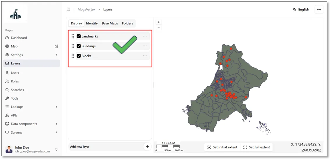
Import Data on Layer
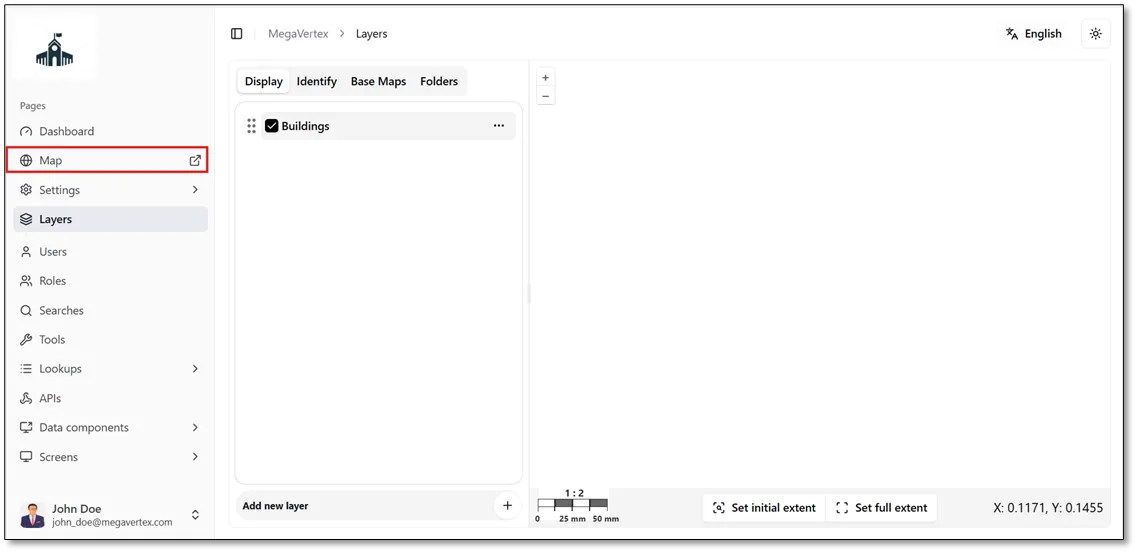
After adding the required fields, the layer is ready for data import. To import data into the layer, navigate to the Map page.
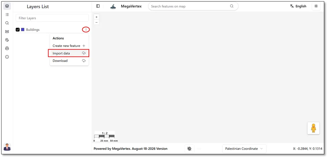
On the Map page, you can import data into a layer by clicking the Actions icon  next to the layer and then selecting Import Data, as shown in the figure below.
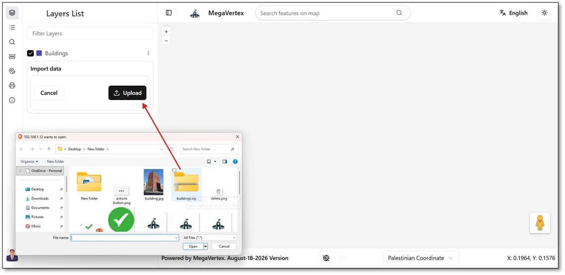
Click the Upload button and select the Shapefile containing the required spatial data from your local device.
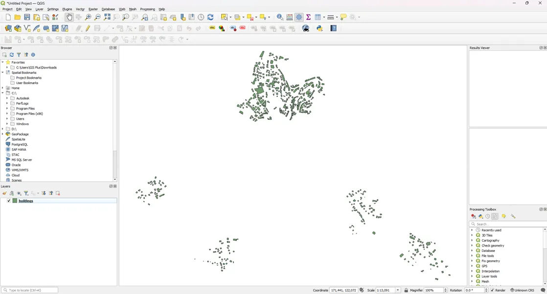
Before importing the data, review the Shapefile using desktop GIS software, such as QGIS Desktop, to ensure that the data is correct and ready for import.
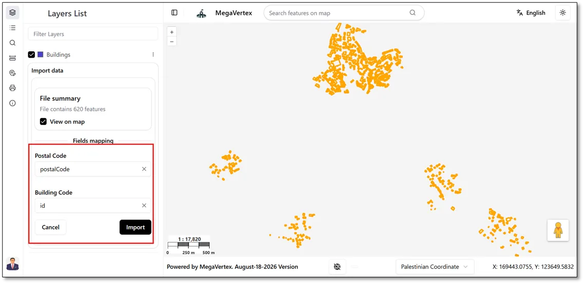
Map the fields in the Shapefile to their corresponding layer fields, then click the Import button to import the data into the layer.
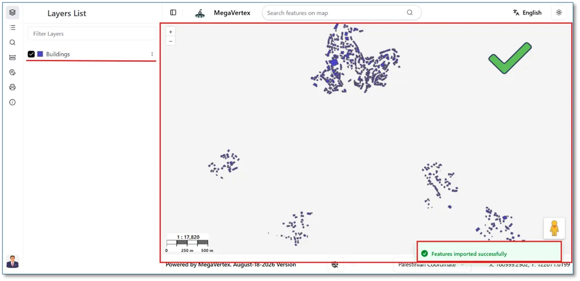
The result below shows that the Shapefile data has been successfully imported into the layer and is displayed on the map.
You can add multiple layers to the application by repeating the same steps described above for each layer.