Print tool
1 min
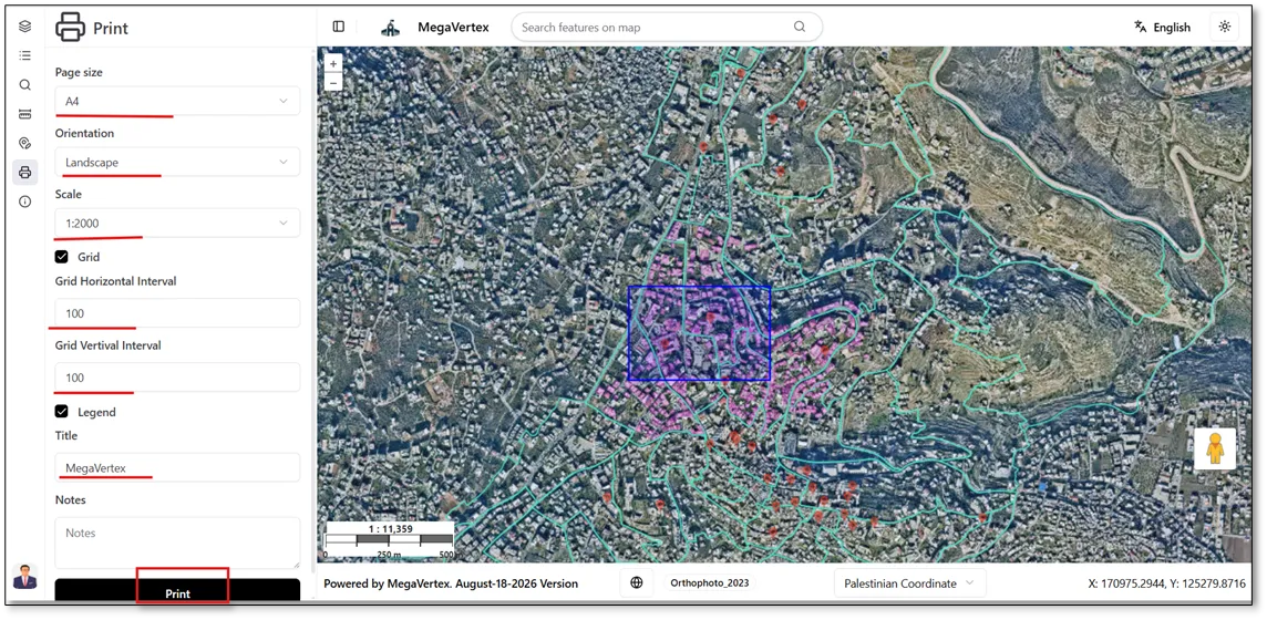
Using the Print tool  , you can print the map by customizing various settings, including page size, page orientation, scale, horizontal and vertical grid intervals (if enabled), and map title. After configuring the desired settings, click Print to preview the final map layout, as shown in the figure below.
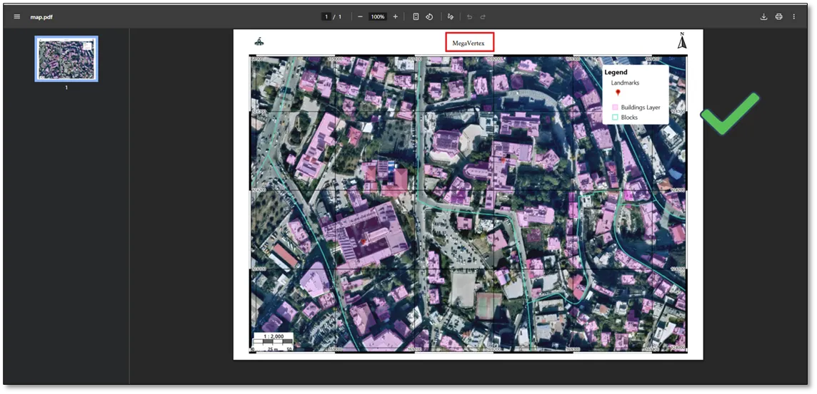
The map layout will be displayed in the print preview, as shown in the figure below.