Measure tool
When you open the Measure tool  , you can measure distances, areas, and coordinates on the map.
The following example demonstrates how to use the Length measurement tool to measure distances on the map.
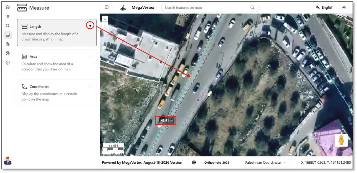
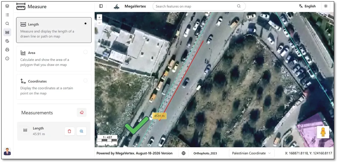
Once you finish drawing the path to be measured, it will turn red, and the measured length will be displayed next to the path, as shown in the figure below.
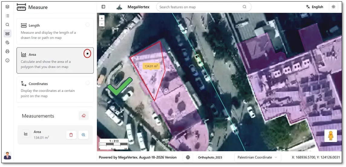
The following example demonstrates how to use the Area measurement tool to calculate the area of a selected region on the map.
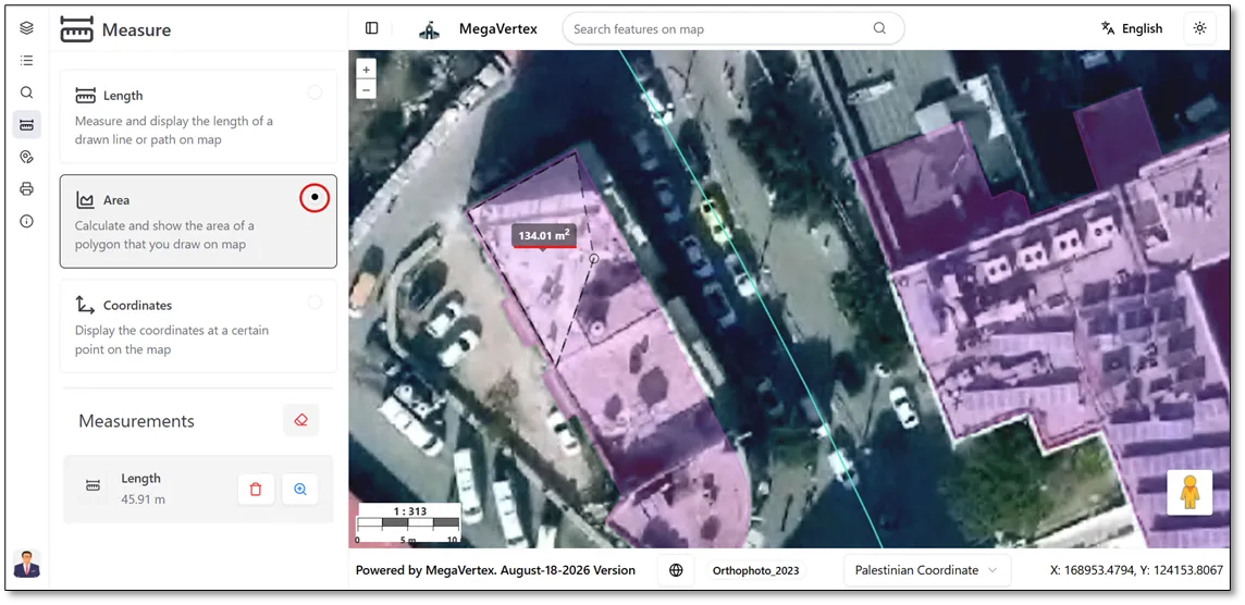
Once you finish drawing the area to be measured, the selected region will turn red, and the calculated area will be displayed next to it, as shown in the figure below.
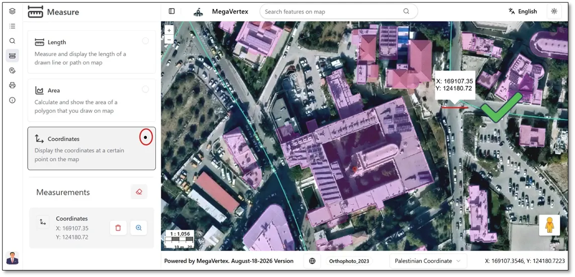
The following example demonstrates how to use the Coordinates measurement tool to identify the geographic coordinates of a selected location on the map.
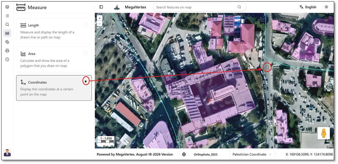
Once you place a point on the map, its X and Y coordinates will be displayed next to the point, as shown in the figure below.