Google street view
MegaVertex supports Google Street View functionality. To use this feature, first select one of the available Google basemaps, as shown in the figure below.
A valid Google Maps API key is also required to enable this functionality. You must obtain an API key from the Google Cloud Console and configure it in MegaVertex.
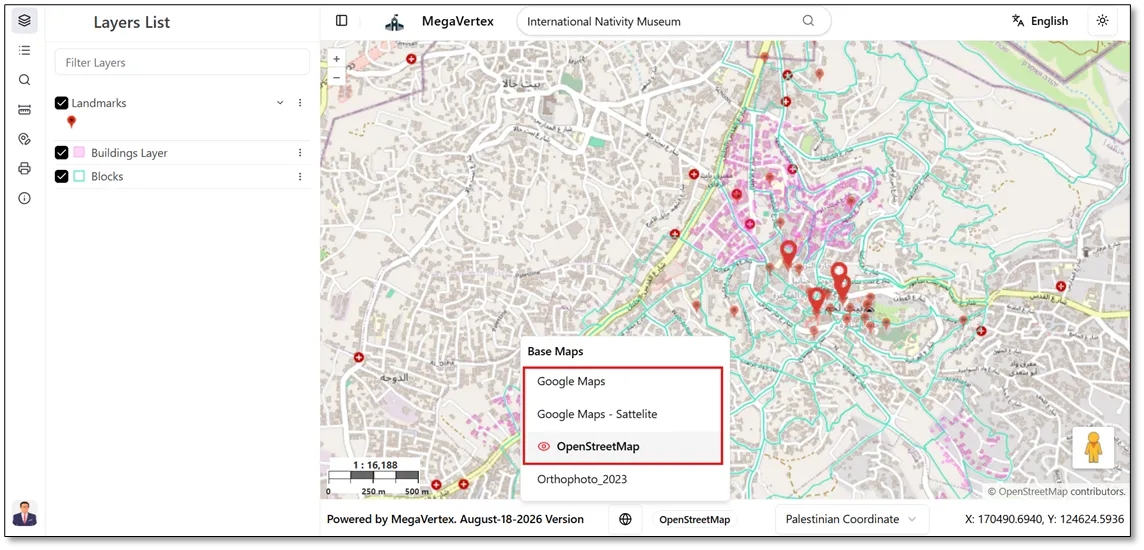
After selecting a Google basemap, click and drag the Google Street View button  to the desired location on the map, as shown in the figure below.
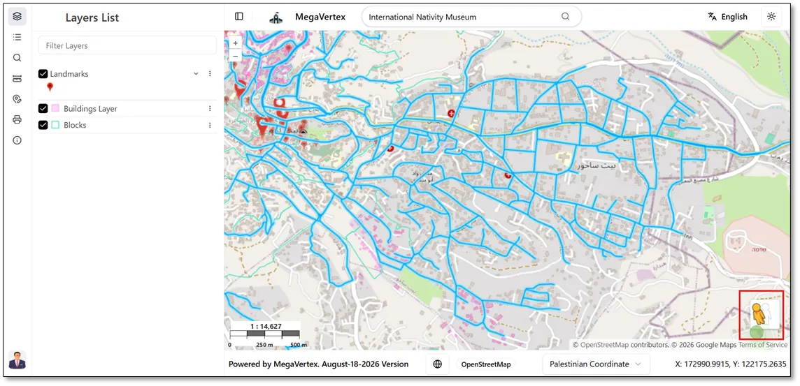
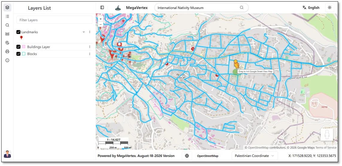
When you drag the Google Street View button over the map preview, streets supported by Google Street View will be highlighted. You can then drop the button  on any highlighted street to view its Street View imagery.
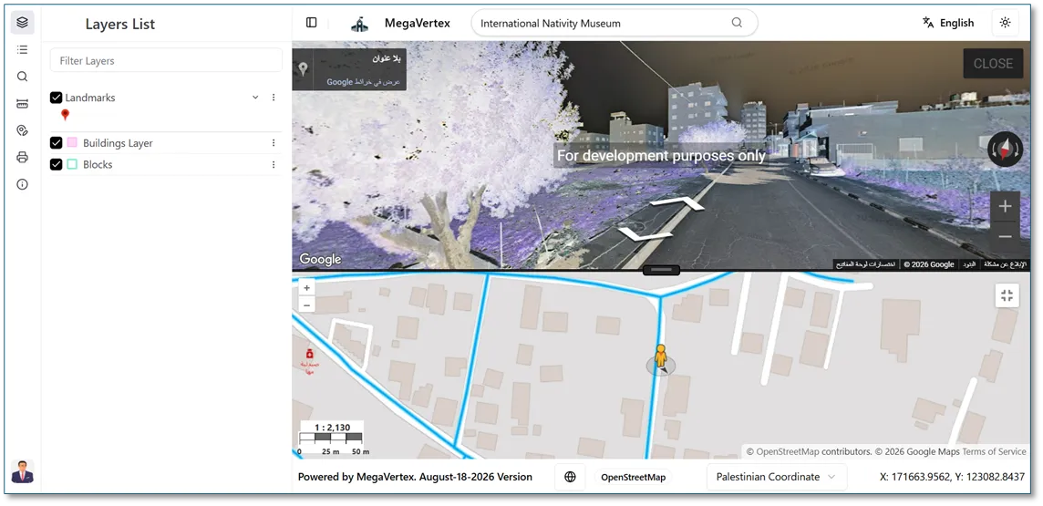
When you drop the Google Street View button  onto a highlighted street, the Google Street View window opens, displaying the street-level imagery for the selected location, as shown in the figure below.